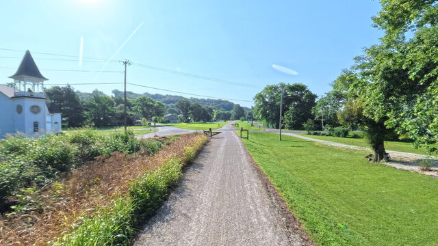
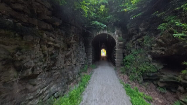
Trail stop / Mile marker 169.5 / Captured in 360°
McBaine
MKT spur to Columbia joins here
169.5
railroad mile
east to west
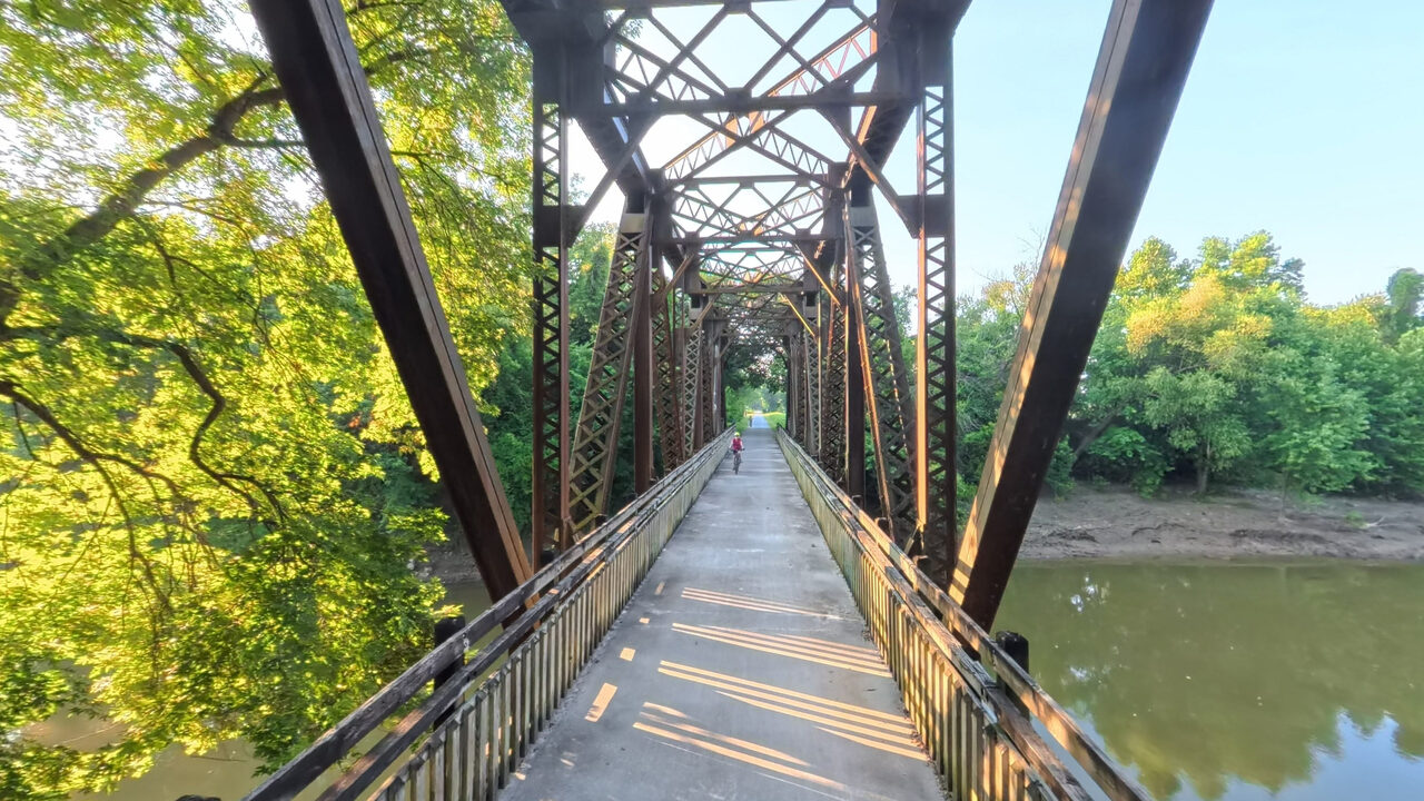
Perche Creek trestle deck. Rendered from the Terrain360 capture, July 2026. The tour opens right here at scene 290.
Open on Terrain360 (opens in a new tab)The landmarks, scene by scene
Each scene drops you into the tour right there.
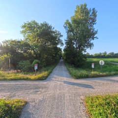
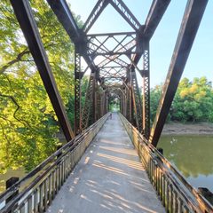
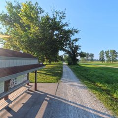
At the trailhead
Seasonal water runs April 1 to October 31 unless the note says otherwise.Water
Yes
Restroom
Yes
Camping
None
Notes
9 mi spur north into Columbia
WaterRestroomRiver accessIn 360°Shade
Use this stop
Plan a ride from here See it on the map Enter the 360° hereConditions regrade every 30 minutes. Check the surface before you drive out.
Eat, stay, and sip nearby
Food, cafes and bike shops within a mile; camping, wineries and breweries within about three.Refreshed nightly from Google Places, so hours and ratings stay current without the page waiting on anyone. Powered by Google.
Nothing listed within range of this trailhead. The next town over usually has you covered; check the neighbouring stops below.