Katy Trail State Park / Machens to Clinton / MissouriKaty Trail State Park, Missouri
America’s longest rail‑trail, mile by mile.
240 miles of crushed limestone across Missouri, the river at your shoulder for half of it. We rode 36 of those miles with a 360 camera on the mast so you can scout the trail before you commit a weekend. Then we built the tools to pick the day: rain history, mud grade, wind against your heading, every trailhead tagged.240 miles of crushed limestone across Missouri. We rode 36 of them with a 360 camera so you can scout before you commit.
Trail surface now
Rocheport
Missouri R.
Regraded every 30 minutes from Open‑Meteo rain history at 15 corridor points and 7 USGS river gauges.
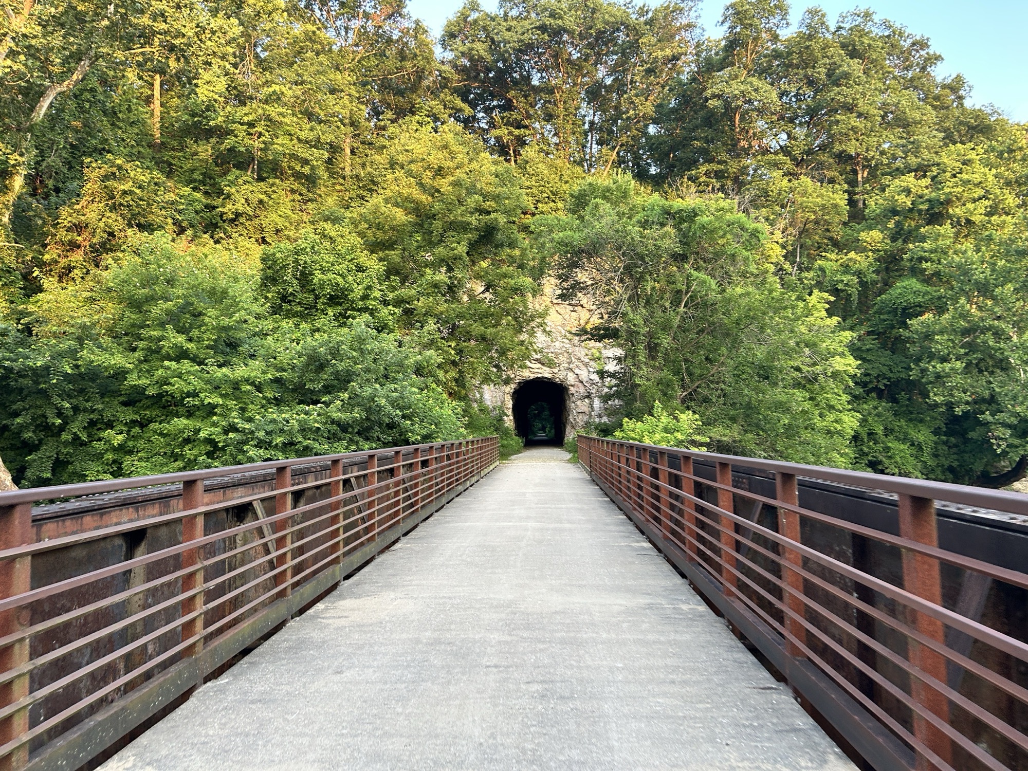
Mile 178.9
Moniteau Creek bridge into the 1893 Rocheport tunnel, the only tunnel on the old MKT line.
Rail‑Trail Hall of Fame
Inducted by the Rails‑to‑Trails Conservancy
Plan a ride
Pick the two trailheads. We’ll tell you the day.
Distance and moving time from railroad mile markers, mud grade from three days of rain history, and the wind checked against the direction you’ll actually be pointing.
miles, one way
Distance
Moving time
at 11 mph on limestone
With stops
single day
Forecast, next seven days
tap a day
Wind vs. your heading
Daylight
Rain before you go
Overnight stops
Street-level 360°
Ride it before you ride it.
Shot scene by scene from a bicycle in July 2026, Rocheport to North Jefferson. 1,167 scenes: the tunnel, the Moniteau and Perche Creek trestles, the limestone bluffs, Cooper’s Landing, the Hartsburg bottoms.
36/240
miles captured
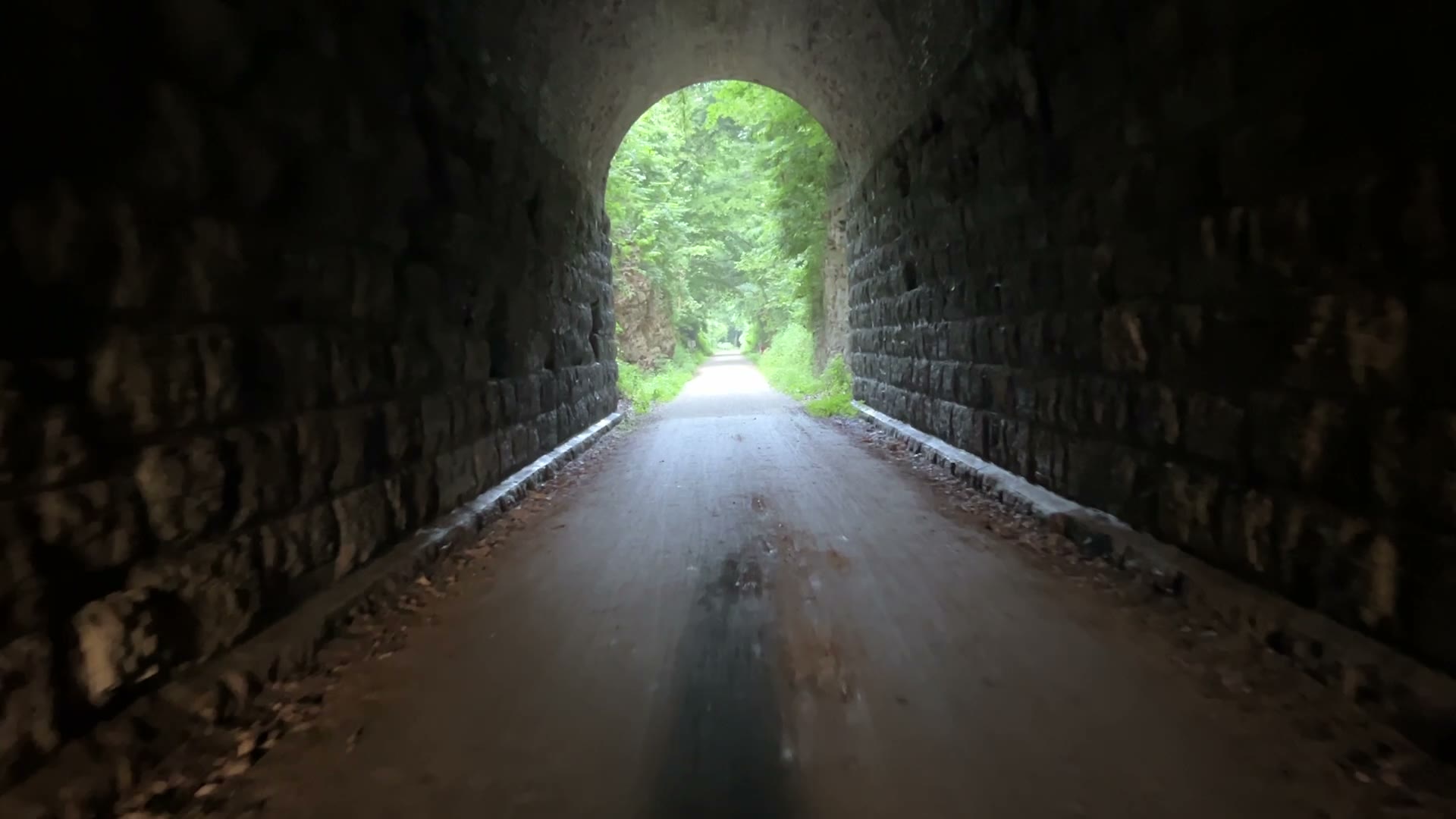
The next 204 miles get captured as funding lands. Capture follows construction: we don’t promise trail that isn’t built yet.
Trail guide
240 miles, five rides.
Search the corridor
Everything within a mile of the trail, tagged.
Twenty‑six trailheads and the towns behind them. Search by town or mile marker, filter by what you need, and see how far off the trail it sits.
Trailheads and amenities from the Missouri State Parks trail‑services list. Restaurants, lodging, and hours come from Google Places, cached nightly so the page never waits on it.
Open the full mapThe river beside you
Two ways through one valley.
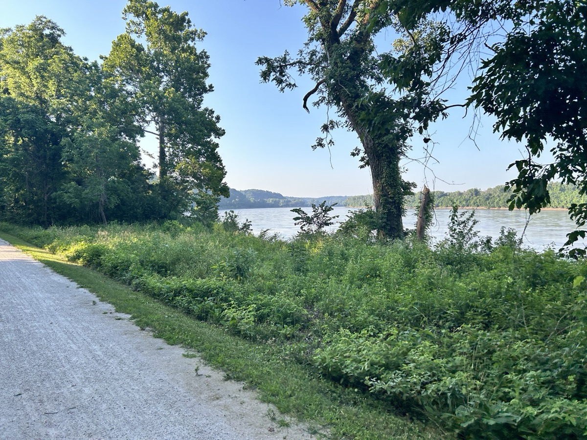
For a hundred miles the Katy runs the north bank of the Missouri. This is Lewis and Clark country: the expedition worked upstream through this reach in June 1804, and the trail is an official segment of the Lewis and Clark National Historic Trail. Terrain360 has the river captured by boat too, so you can scout Cooper’s Landing from the water or the tunnel bluffs from the saddle.
How it was shot
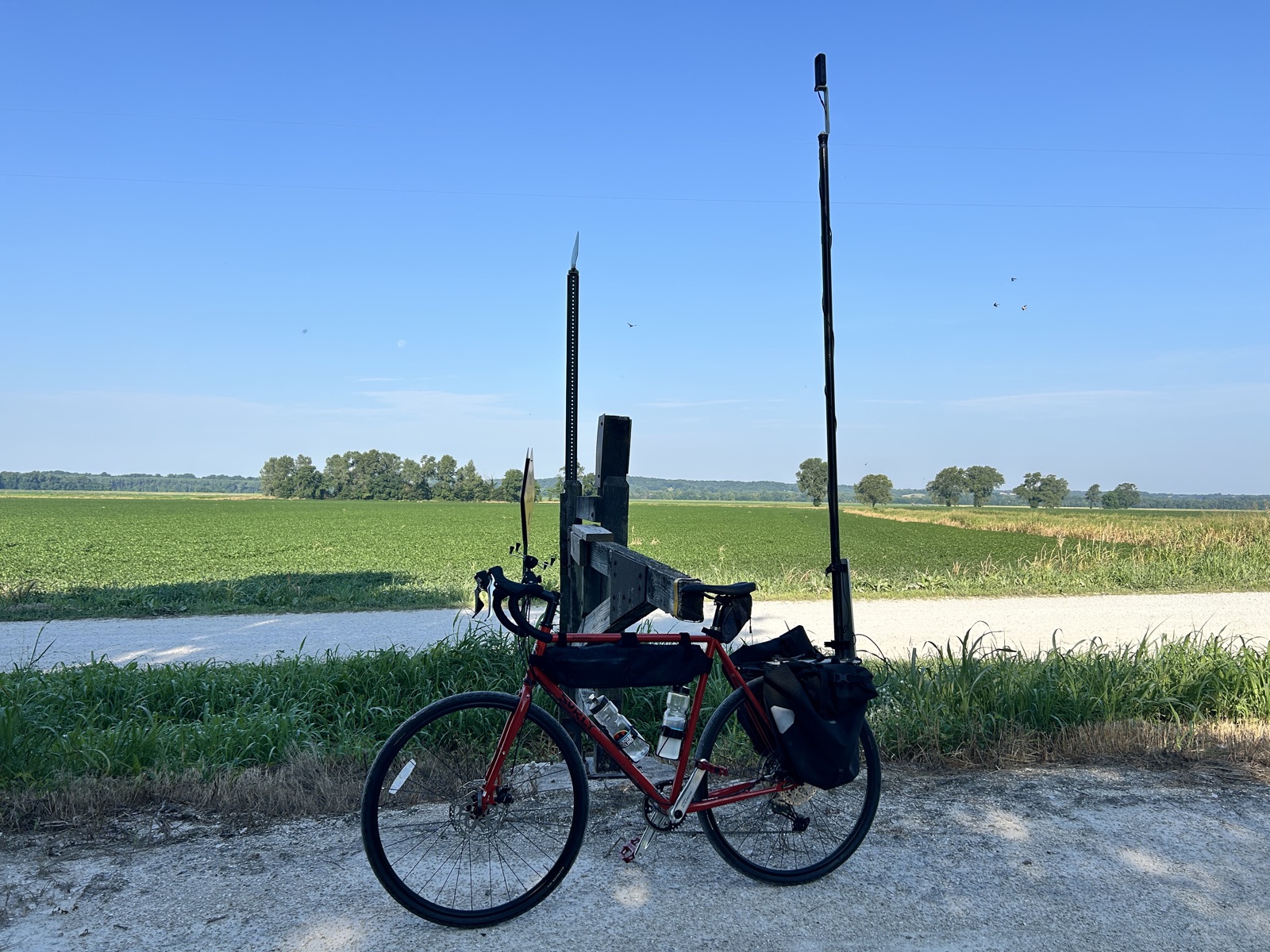
A normal touring bike with a mast‑mounted 360 rig. No motor, no vehicles on trail, which is what Missouri State Parks asked for.
The rest of the corridor
36 miles are done. 204 to go, then the Rock Island.
Together with the Rock Island Trail, the Katy makes a 450‑mile loop.